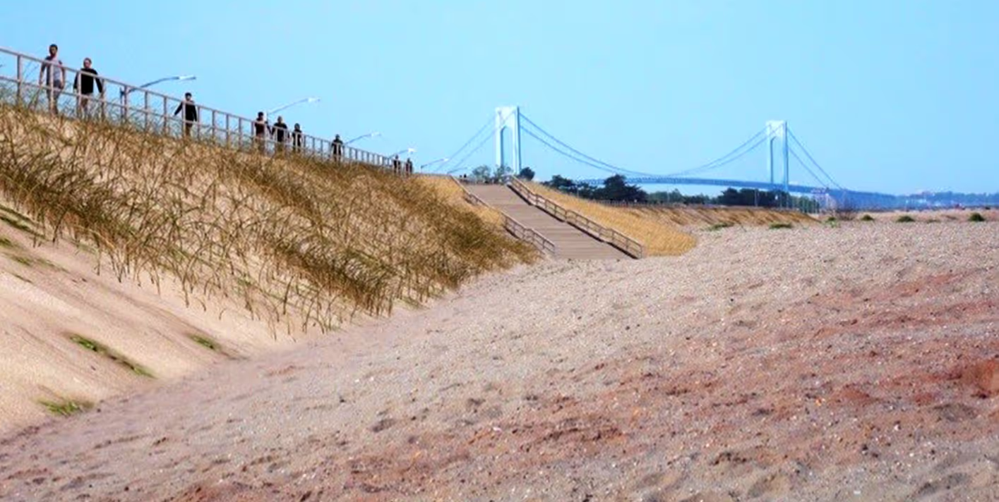
The project area covers 13 miles of coastline on Staten Island, from Fort Wadsworth to Tottenville, extending along lower New York Bay and Raritan Bay. The area has a long history of storm damage and has experienced major storm damage from various recent storm events, including the Northeaster of December 1992, the March 1993 storm, and the October 2012 Sandy event.
These storms caused flood damage, loss of structures, large scale evacuations and several deaths within several communities. The area is now increasingly vulnerable to severe damage even from moderate storms. As part of a joint venture, Moffatt & Nichol is responsible for completing final feasibility level planning, design, and cost estimates for a storm damage reduction (i.e., flood mitigation) project along the south shore of Staten Island, New York. This most recent contract provides architect and engineering services primarily for the South Shore of Staten Island, Fort Wadsworth to Oakwood Beach, NY Coastal Storm Risk Management Project, and other coastal storm and flood risk management projects within New York District boundaries. This includes preparation of studies, reports, engineering analyses and design, design documents, plans, specifications, cost estimates, operation and maintenance manuals, and construction phase services.
Moffatt & Nichol is responsible for developing design basis information including astronomic tides, tidal datums, sea level rise, currents, waves, storm stage, winds, shoreline characteristics, storm histories, geology, littoral materials, shoreline and volumetric changes, sediment budget, typical profiles, existing conditions storm-induced erosion, wave run-up, wave overtopping, and wave attack. In addition, Moffatt & Nichol is assisting U.S. Army Corps of Engineers with the development of design criteria, preliminary design alternatives, preferred plan selection, and plan optimization.


